


Espel, Netherlands
€79,00
Espel, Netherlands
https://goo.gl/maps/5LVyyUjhVgB2
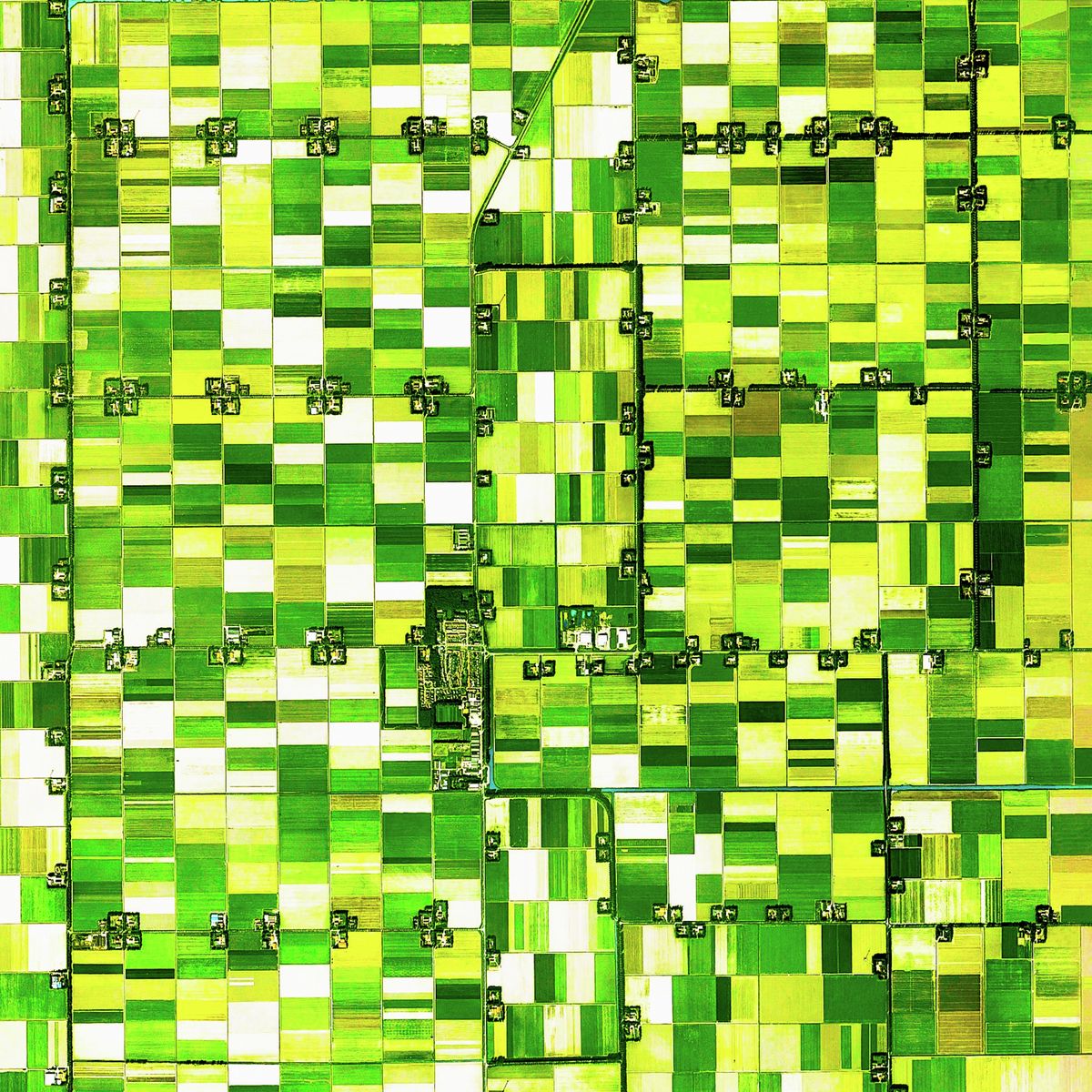
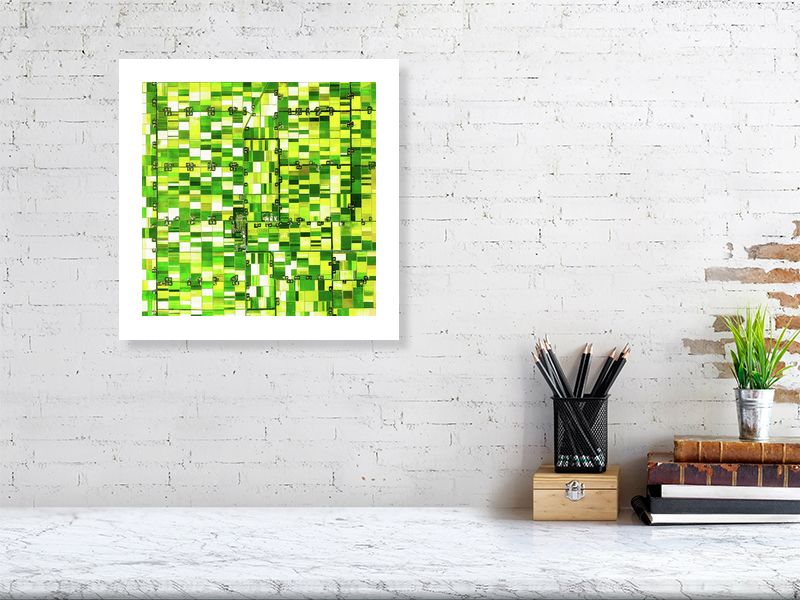
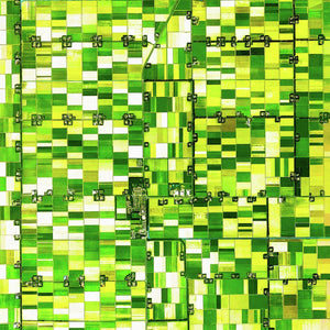
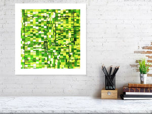
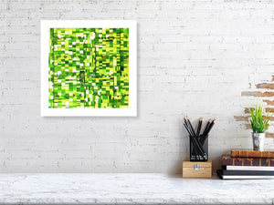
The northeast polder in the Netherlands was drained between 1937 and 1942, creating 125 acres of new land, the centre being Emmeloord. This draining of the sea was called the Zuiderzee project.
This land is very fertile and is one of the main global centers for flower growing. This image is of Espel, within this region, where the main output are tulips and tulip bulbs.
The images clearly shows each of the farmhouses, equally divided, and their adjoining fields.
#earthimages #earthimage #upintheair #abovetheclouds #satelliteimage #satelliteimages #EarthOverhead #espel #netherlands #holland #zuiderzee #tulipfarm #tulips #Emmeloord #polder #rutten
All of our images are printed to the highest quality on hand-picked, European manufactured paper and printed using the very latest, high quality printing techniques. We also add a 10% border to the image. Click below for details.
Simply choose the image size below and we'll take care of the rest!