


Vojvodina, Serbia
€99,00
Vojvodina, Serbia
https://goo.gl/maps/jFsZfha29D62
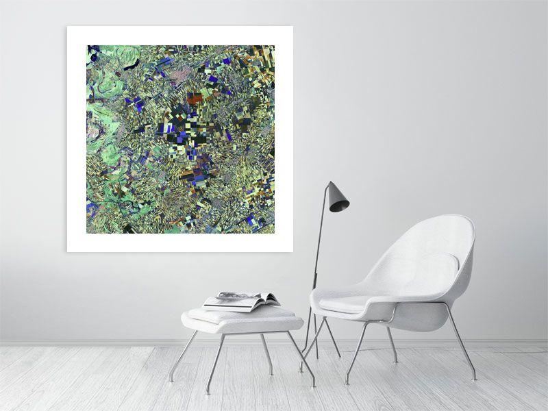
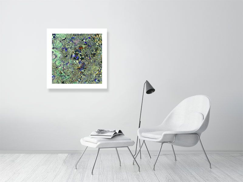
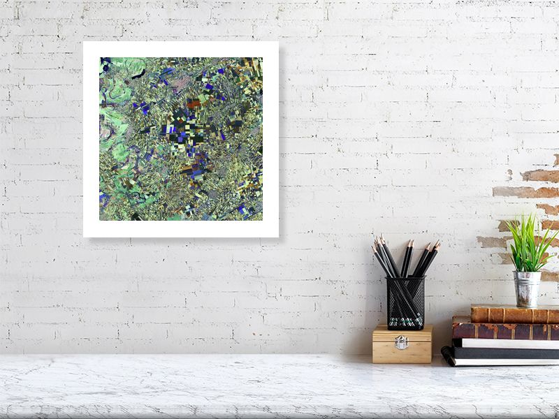
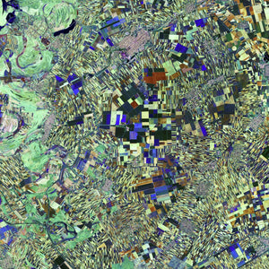
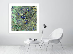
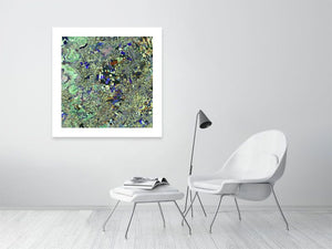
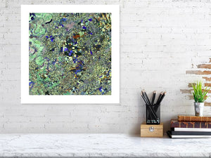
The area pictured in this Satellite Art image in northern Serbia called Vojvodina is a very fertile soil – hence the plethora of agricultural fields visible as geometric shapes, reminiscent of cubist artwork.
Also visible are the manmade waterways appearing as straight black lines – likely for draining the swamps, transportation and irrigation.
Nestled among the fields, there are a number of small towns with grid layouts. This type of city planning was invented by ancient Greece’s Hippodamus – known as the ‘father of European urban planning’.
Image courtesy of Copernicus Sentinel-2A satellite via http://www.esa.int/
#earthimages #earthimage #upintheair #abovetheclouds #satelliteimage #satelliteimages #EarthOverhead #overview #overvieweffect #Vojvodina #Serbia #Hippodamus #Copernicus-Sentinel-2A #Copernicus #Sentinel-2A
All of our images are printed to the highest quality on hand-picked, European manufactured paper and printed using the very latest, high quality printing techniques. We also add a 10% border to the image. Click below for details.
Simply choose the image size below and we'll take care of the rest!